
Which one of the following is known as uplands of delta region?
- (a)Bef
- (b)Bils
- (c)Peh
- (d)Chars
Answer
Why
Correct: D, Chars. In the deltaic plain of the Ganga and the Brahmaputra the rivers drop so much silt that fresh land is built up inside and alongside the channels. These accreted silt tracts and river islands stand above the general level of the surrounding waterlogged flats, and in Bengali and Assamese usage they are called chars, sometimes written churs. Because they are the raised, cultivable ground in an otherwise low and swampy landscape, they are described as the uplands of the delta region, and they are where the delta's farming population settles. Option (b), bils, names precisely the opposite thing (the still-water depressions of the same plain) so the pair (b) and (d) is the real contrast the item is built on, and the stem asks for the high ground.
Why the others are wrong
- (a)Bef: Printed exactly as it stands in the official booklet, and reproduced here unchanged. It corresponds to no recognised landform of the Indian deltaic plain, so there is nothing to memorise behind it: it functions purely as a distractor.
- (b)Bils: A bil, or beel, is a lake-like wetland of static water: low ground where flood water was trapped and never drained away, or where a river abandoned its channel and left a string of still pools behind. That is the delta's low ground, the exact opposite of what the question asks for, which is why it is the most tempting wrong answer here.
- (c)Peh: Again as printed in the booklet. Like option (a) it does not correspond to any standard term in Indian delta geography, and it is offered only to fill out the option set.
Concept
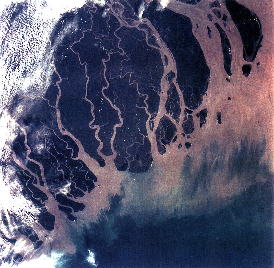
A delta is built where a river's velocity collapses as it enters the sea and its load is dropped. The result is not a flat sheet but a mosaic of levels. The channels and their abandoned courses leave low, waterlogged hollows; the material they deposit builds ridges, banks and islands that rise above the flood level. In the Bengal delta the low, still-water hollows are the bils and the raised silt land is the chars. Chars are unstable ground (a river that builds one in a decade can cut it away in a season) and the shifting of char land is a long-standing source of settlement and land-tenure disputes in Assam and Bengal.
A word about the printed options, because two of them look wrong. Options (a) and (c) appear here exactly as the official booklet sets them, 'Bef' and 'Peh'; the Hindi version of the same page prints the same two words in Devanagari, so they are the booklet's own text rather than a transcription slip, and they have been left untouched. Neither is a standard term in Indian delta geography. Read the item as the pair it really is: bils are the delta's water-filled depressions, chars its raised silt land, and the stem asks which one is the upland. That is a good general habit with a four-option item in which two options are unfamiliar: decide between the two you recognise rather than trying to place the two you do not.
Key facts
- Chars are silt islands and accreted tracts built up by the rivers of the Ganga-Brahmaputra delta and floodplain, standing above the surrounding low ground and settled for cultivation.
- Bils, or beels, are lake-like wetlands of static water, formed where flood water is trapped in low ground or where a river has abandoned its channel.
- The Ganga-Brahmaputra delta is the largest delta in the world and carries the Sundarbans mangrove forest along its seaward edge.
- Majuli, in the Brahmaputra in Assam, is the best known of the large river islands built by this process.
- Char land shifts as the rivers erode and rebuild it, which is why char settlements are among the most flood-exposed in eastern India.
Study next
Common traps
- Picking bils because the word is familiar, without registering that a bil is low ground and the question asks for high ground.
- Trying to place the two unfamiliar options instead of deciding between the two that can be recognised.
- Confusing the delta's local terms with those of the upper Ganga plain, where bhangar and khadar do the work of distinguishing old from new alluvium.
Indian geography items test the regional vocabulary of landforms (bhabar, terai, bhangar, khadar, chars, bils) usually by giving a description and asking for the term, as here.
Related PYQs
No directly related past PYQ was found.
Practice
- practice, not a real PYQ
In the Bengal delta, a lake-like wetland of static water formed in a low-lying tract or in an abandoned river channel is locally called a
- (a)char
- (b)bil
- (c)bhangar
- (d)bhabar
Answer(b) bil: a still-water wetland of the deltaic plain, the low ground as against the raised silt land of the chars. - practice, not a real PYQ
The older alluvium of the northern plains, lying above the flood level and often containing lime nodules, is known as
- (a)khadar
- (b)bhangar
- (c)terai
- (d)char
Answer(b) bhangar: the older alluvial terrace of the plains, as against khadar, the new alluvium of the active floodplain.