
Which among the following is an important mineral of Pegu Yoma region of Myanmar ?
- (a)Tin
- (b)Silver
- (c)Mineral oil
- (d)Copper
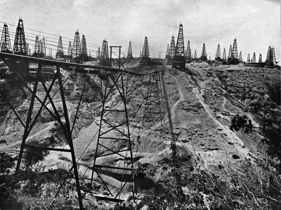
Correct — C, Mineral oil. The Pegu Yoma (Bago Yoma) is the low, forested range that runs down the middle of Myanmar between the Irrawaddy valley on the west and the Sittaung valley on the east. Geologically it is not a hard-rock massif but a young Tertiary sedimentary structure — an anticlinal ridge thrown up within the great sediment-filled basin of central Myanmar — and structures of that kind trap hydrocarbons, not metallic ores. That is why the region and the basin flanking it are Myanmar's oil country. Yenangyaung, on the Irrawaddy in the Magway Region, is the classic field: its name means 'stream of stinking water' after the seepages worked there long before modern drilling, and the tract around it produces most of Myanmar's oil and natural gas. Note the qualification a careful reader should make: the producing wells sit in the basin on the flanks of the Pegu Yoma rather than along its crest, so 'mineral oil of the Pegu Yoma region' is a regional description, which is how the standard geography textbooks use it and how this question intends it.
- (a)Tin — Tin belongs to a different geological province altogether. It is worked from granite-associated deposits in the far south of Myanmar, the narrow Tanintharyi (Tenasserim) strip that forms the northern end of the South-East Asian tin belt running down the Malay Peninsula — the belt whose most famous field is the Kinta Valley of Malaysia, which UPPSC itself set as a question in 2020. Nothing about a Tertiary sedimentary ridge in the central lowland produces tin.
- (b)Silver — Myanmar's silver comes from the Bawdwin mine, a polymetallic deposit near Lashio in Namtu Township of northern SHAN STATE, which yields silver, lead, zinc, copper and other metals. That is on the Shan Plateau in the north-east of the country, several hundred kilometres from the Pegu Yoma and in a completely different rock province.
- (d)Copper — Myanmar's large copper workings are the Monywa group — Letpadaung, Sabetaung and their neighbours in Salingyi Township of the SAGAING Region, on the Chindwin river in the north-west. Monywa itself lies about 136 km north-west of Mandalay on the east bank of the Chindwin. Again, a hard-rock deposit far from the Pegu Yoma.
Myanmar's mineral geography sorts itself neatly by structure, and that is far easier to hold than a list of mine names. Running north–south, the country has four belts. In the west, the Arakan (Rakhine) Yoma is the folded arc that continues the Indo-Burman ranges. In the centre lies a deep Tertiary sedimentary basin drained by the Irrawaddy and the Chindwin, with the Pegu Yoma rising inside it as a low anticlinal ridge — this is the petroleum and natural-gas province. To the east the ground steps up onto the Shan Plateau, an old crystalline and limestone block carrying the metallic ores: silver, lead, zinc, and the country's famous rubies and jade to the north of it. And in the far south the narrow Tanintharyi strip carries the tin and tungsten of the South-East Asian tin belt. Match the mineral to the belt and questions like this answer themselves.
The trap is that three of the four options are metals and one is a fuel, and a candidate who has memorised 'Myanmar — tin, tungsten, jade, rubies' will reach for a metal without asking where in Myanmar. The discipline is to ask what kind of rock the named region is made of. A Yoma in Myanmar is a hill range, and the country has two — the Arakan Yoma in the west and the Pegu Yoma in the centre. The Pegu Yoma is the central one, low and young, sitting inside a sedimentary basin, and sedimentary basins mean oil and gas. If you know only that, the metals fall away and (c) is the only option left standing.
- The Pegu Yoma (Bago Yoma) runs north–south through central Myanmar between the Irrawaddy and Sittaung rivers; it is a young Tertiary sedimentary range, not a crystalline massif.
- Yenangyaung, in the Magway Region on the Irrawaddy, is Myanmar's classic oil town — the area produces most of the country's oil and natural gas, and its wells were worked from surface seepages long before commercial drilling began.
- Myanmar's other mineral belts sit elsewhere: silver, lead and zinc at Bawdwin in northern Shan State; copper at Letpadaung and Monywa in the Sagaing Region on the Chindwin; tin and tungsten in the Tanintharyi strip of the far south.
- Myanmar has two 'Yoma' ranges and questions exploit the pair: the ARAKAN Yoma is the western folded arc continuing the Indo-Burman ranges, while the PEGU Yoma is the central sedimentary ridge of this question.
- Confusing the Arakan Yoma with the Pegu Yoma. The Arakan Yoma is the western folded arc, the geological continuation of the Indo-Burman ranges; the Pegu Yoma is the central sedimentary ridge and it is the one associated with oil.
- Reaching for tin, jade or rubies because those are the minerals Myanmar is famous for internationally, without checking whether the named region is the one that produces them.
- Reading 'mineral oil' as something other than petroleum. In older Indian geography and in UPSC's own papers, 'mineral oil' is simply the standard term for crude petroleum.
UPPSC has a settled taste for foreign-region-to-mineral questions and repeats the format year after year — the Kinta Valley and tin in 2020, country-to-oilfield pairs in 2024 — so a small table of world mining regions pays for itself. UPSC asks the same thing at the scale of countries rather than regions, matching a mineral to its leading producer, and prefers to fold the fact into a statement-based or map-based question rather than a bare one-liner.
Match List I with List II and select the correct answer using the codes given below the Lists: List I (Minerals) I. Mineral oil II. Copper III. Manganese IV. Bauxite List II (Major producer) A) Zambia B) Guyana C) Venezuela D) Gabon Codes:
- (a) I-C, II-A, III-D, IV-B
- (b) I-C, II-A, III-B, IV-D
- (c) I-A, II-C, III-B, IV-D
- (d) I-A, II-C, III-D, IV-B
Answer(a) I-C, II-A, III-D, IV-B
The same idea at country scale, and it uses the very term this UPPSC question uses — 'mineral oil' matched to its producing region, with copper as one of the distractor metals here too. The discrimination being tested is identical: attaching a named mineral to the right place.
83. Arakan Yoma is the extension of the Himalayas located in
- (a) Baluchistan
- (b) Myanmar
- (c) Nepal
- (d) Kashmir
Answer(b) Myanmar
Myanmar's other Yoma, and the one candidates confuse with the Pegu Yoma. Knowing that the Arakan Yoma is the western folded arc is what leaves the Pegu Yoma free to be identified as the central sedimentary ridge — the distinction on which this 2022 question turns.
In Malaysia, the 'Kinta Valley' is famous for
- (a) Rubber Production
- (b) Tea Production
- (c) Tin Production
- (d) Coffee Production
Answer(c) Tin Production
The same commission asking the same kind of question about the same corner of the world — a named South-East Asian region matched to its mineral. It also disposes of this question's first distractor: the tin of this region belongs to the Malay Peninsula belt that runs up into southern Myanmar, not to the Pegu Yoma.
Which one of the following pairs (Country – Oil field) is not correctly matched ?
- (a) Iran – Haft Kel
- (b) Kuwait – Kashagan
- (c) Saudi Arabia – Dhahran
- (d) Iraq – Zubair
Answer(b) Kuwait – Kashagan
UPPSC returning to petroleum geography two years later, this time as a place-to-oilfield pairing. The preparation is the same block of world economic geography: knowing which named region on the map is the oil region and which is not.
- practice — not a real PYQ
The Arakan Yoma of Myanmar is best described as :
- (a)a sedimentary ridge in the central basin, associated with petroleum
- (b)the folded western arc continuing the Indo-Burman ranges
- (c)a crystalline plateau carrying silver, lead and zinc deposits
- (d)a granite belt carrying tin and tungsten
Answer(b) the folded western arc continuing the Indo-Burman ranges — the Arakan (Rakhine) Yoma runs along Myanmar's western edge and is the south-eastern continuation of the Himalayan–Indo-Burman fold system. Option (a) describes the Pegu Yoma, (c) the Shan Plateau and (d) the Tanintharyi tin belt.
- practice — not a real PYQ
The Bawdwin mine of Myanmar, near Lashio, is best known for the production of :
- (a)tin and tungsten
- (b)crude petroleum
- (c)silver, lead and zinc
- (d)bauxite
Answer(c) silver, lead and zinc — Bawdwin, in Namtu Township of northern Shan State, is a polymetallic deposit yielding silver, lead, zinc, copper and other metals. It sits on the Shan Plateau, a wholly different geological province from the oil-bearing central basin around the Pegu Yoma.