
In which of the following rivers, the upper course contains fresh water but saline water flowing at the lower part ?
- (a)Barak river
- (b)Luni river
- (c)Ghaggar river
- (d)None of the above
Correct — B, the Luni river. The Luni rises in the Aravalli hills near Ajmer — it is called the Sagarmati in its first stretch — and runs about 495 km south-west across Rajasthan before dissipating in the marshes of the Rann of Kachchh. In its upper course, through Ajmer, Nagaur and Pali, the water is sweet and is used for irrigation. Below that, roughly from Balotra in Barmer district onwards, it turns brackish and finally frankly saline. Three things do it: the river crosses salt-encrusted desert soils and saline groundwater, evaporation in the arid Thar concentrates whatever dissolved salt it carries, and it has no outlet to the sea to flush itself. The name records the fact — Luni derives from the Sanskrit lavanavari, salt water. It is the standard textbook example of a river that is fresh above and salt below.
- (a)Barak river — The Barak rises in the Manipur hills and flows through one of the wettest parts of India — Manipur, Mizoram and the Cachar plain of Assam — before entering Bangladesh, where it splits into the Surma and the Kushiyara and eventually forms the Meghna. Abundant rainfall keeps it fresh throughout its Indian course; there is no arid tract, no salt-rich soil and no evaporative concentration of the kind that makes the Luni saline.
- (c)Ghaggar river — The Ghaggar is Rajasthan's other famous inland river — a seasonal, monsoon-fed stream often identified with the Vedic Saraswati, which simply loses itself in the sands of the Thar near Hanumangarh and Anupgarh. It is remembered for drying up and disappearing, not for turning salty; the salinity description belongs to the Luni.
- (d)None of the above — There is a correct option in the list, so this cannot be it. The Luni is the classic Indian example of a river with fresh water in the upper course and saline water in the lower.
Rivers become salty in two quite different ways, and this question is about the less obvious one. In an estuary the sea pushes salt water upstream, so the salinity is tidal and comes from outside. In an inland or endorheic basin like western Rajasthan there is no sea to reach: the river simply loses water to evaporation faster than it gains it, dissolves salts out of the desert soils and saline groundwater it crosses, and ends in a salt marsh instead of a mouth. The Luni's salinity is of this second, evaporative type — which is also why the Thar carries salt lakes such as Sambhar, Didwana and Pachpadra.
Sort the three named rivers by climate and the answer falls out. The Barak drains a high-rainfall hill region of the north-east; the Ghaggar and the Luni are both rivers of arid Rajasthan, but the Ghaggar's story is disappearance while the Luni's is salinity — and the Luni is the only one of the three that keeps flowing far enough into the desert to reach a salt marsh, the Rann of Kachchh. If the name itself is remembered as salt water, the question answers itself.
- The Luni rises in the Aravalli hills near Ajmer, is called the Sagarmati in its headwaters, and flows about 495 km south-west across Rajasthan.
- Its water is sweet in the upper course and becomes brackish to saline in the lower course, roughly beyond Balotra in Barmer district.
- It has no outlet to the sea — it disappears into the marshy Rann of Kachchh, which makes its basin an inland (endorheic) drainage system.
- The salinity comes from salt-rich desert soils and saline groundwater plus intense evaporation, not from the sea pushing inland.
- The name Luni comes from the Sanskrit lavanavari, meaning salt water; western Rajasthan's salt lakes — Sambhar, Didwana, Pachpadra — share the same geochemistry.
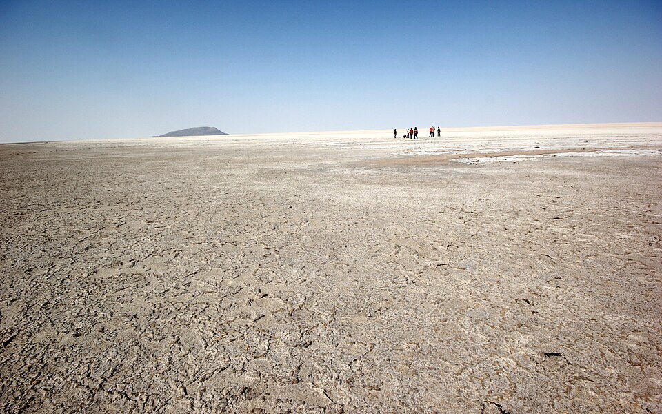
- Assuming saline means tidal. The Luni is salty because of evaporation and salt-bearing desert soils, not because seawater enters it.
- Swapping the two Rajasthan rivers: the Ghaggar is the river that vanishes into the sand, the Luni is the river that turns salty.
- Believing the Luni empties into the Gulf of Kachchh or the Arabian Sea. It ends in the marshes of the Rann of Kachchh — the exact point UPSC tested in 2010.
UPPSC asks it as a one-line property of a named river; UPSC has asked the same river through its terminus and through the wider theme of inland drainage and saline wetlands.
With reference to the river Luni, which one of the following statements is correct?
- (a) It flows into Gulf of Khambhat
- (b) It flows into Gulf of Kuchchh
- (c) It flows into Pakistan and merges with a tributary of Indus
- (d) It is lost in the marshy land of the Rann of Kuchchh
Answer(d) It is lost in the marshy land of the Rann of Kuchchh
The same river and the same underlying point — the Luni never reaches the sea, and that closed, evaporating basin is exactly why its lower course turns saline.
In India, which one of the following States has the largest inland saline wetland?
- (a) Gujarat
- (b) Haryana
- (c) Madhya Pradesh
- (d) Rajasthan
Answer(d) Rajasthan
The same geochemistry one step wider: closed basins in arid Rajasthan concentrate salt, producing both the saline lower Luni and India's largest inland salt lake at Sambhar.
Largest saline water lake in India is
- (a) Chilka
- (b) Sambhar
- (c) Lonar
- (d) Wullar
Answer(b) Sambhar
UPPSC came back to the salt landscape of Rajasthan two years later — Sambhar and the lower Luni are the lake and the river of the same closed, evaporating desert basin.
- practice — not a real PYQ
The Luni river finally disappears into which of the following?
- (a)The Gulf of Khambhat
- (b)The Rann of Kachchh
- (c)The Gulf of Kachchh
- (d)The Sambhar lake
Answer(b) The Rann of Kachchh — the Luni has no sea outlet and dissipates in the marshes of the Rann, which is why its basin is called an inland drainage basin.
- practice — not a real PYQ
The Luni river originates from which mountain range?
- (a)The Vindhya range
- (b)The Satpura range
- (c)The Aravalli range
- (d)The Western Ghats
Answer(c) The Aravalli range — it rises in the Aravallis near Ajmer, where its headwater stretch is known as the Sagarmati, and flows south-west across the Thar.