
The river situated along the border between the United States of America and Mexico is -
- (a)The Colorado
- (b)The Mississippi
- (c)The Amazon
- (d)The Rio Grande
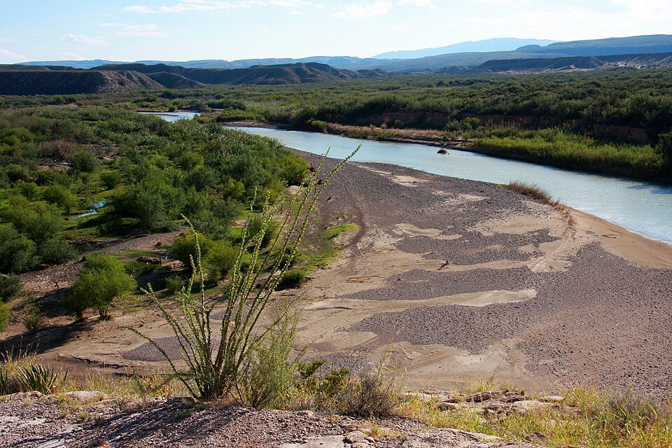
Correct — D, The Rio Grande. The Rio Grande (called Rio Bravo in Mexico) forms a large part of the international boundary between the United States and Mexico, running from around El Paso/Ciudad Juarez down to the Gulf of Mexico and marking the entire Texas-Mexico border. So the border river is the Rio Grande.
- (a)The Colorado — The Colorado flows through the south-western USA and into Mexico near its mouth, but it does not run along the US-Mexico border as a boundary river the way the Rio Grande does.
- (b)The Mississippi — The Mississippi is a major internal US river draining the central plains into the Gulf of Mexico; it lies wholly within the United States and touches no international border.
- (c)The Amazon — The Amazon is in South America (mainly Brazil, Peru, Colombia) — a different continent altogether, nowhere near the US-Mexico frontier.
Rivers often serve as international boundaries. The Rio Grande / Rio Bravo is the classic North American example: since the 1848 Treaty of Guadalupe Hidalgo it has defined the boundary between Texas (USA) and Mexico, flowing roughly 3,000 km from Colorado to the Gulf of Mexico.
The distractors are all famous rivers, so the trick is knowing which one is actually a boundary. Colorado and Mississippi are US rivers but not the border; the Amazon is on another continent. Only the Rio Grande fits 'along the US-Mexico border'.
- Rio Grande (Rio Bravo del Norte in Mexico) marks the entire Texas-Mexico border.
- It became the boundary after the 1848 Treaty of Guadalupe Hidalgo ending the Mexican-American War.
- It rises in the Rocky Mountains (Colorado) and empties into the Gulf of Mexico.
- The Amazon (South America), Mississippi and Colorado (both USA) are not US-Mexico boundary rivers.
- Picking the Colorado — it enters Mexico but is not the border river
- Confusing the Amazon (South America) with a North American river
UPSC/UPPSC ask which river/lake forms the boundary between two named countries, or to match a river to its country.
Which one of the following lakes forms an international boundary between Tanzania and Uganda?
- (a) Chad
- (b) Malawi
- (c) Victoria
- (d) Zambezi
Answer(c) Victoria
Same concept — a water body (here a lake) that forms an international boundary between two named countries.
- practice — not a real PYQ
The Rio Grande forms the international boundary between the United States and which country?
- (a)Canada
- (b)Mexico
- (c)Cuba
- (d)Guatemala
Answer(b) Mexico — the Rio Grande marks the Texas-Mexico border. - practice — not a real PYQ
Which river drains the central United States and empties into the Gulf of Mexico without touching any international border?
- (a)Rio Grande
- (b)Colorado
- (c)Mississippi
- (d)Columbia
Answer(c) Mississippi — a major internal US river.