
Atal Pragati Path is related to
- (a)Mandsaur – Nimuch region
- (b)Dhar – Jhabua region
- (c)Mandla – Jabalpur region
- (d)Gwalior – Chambal region
Correct — D, Gwalior–Chambal region. Atal Pragati Path (also called Atal Progress-Way, or the Chambal Expressway) is a roughly 404 km four-lane expressway built under the Bharatmala Pariyojana through the Chambal ravines of Sheopur, Morena and Bhind districts — the Gwalior-Chambal belt — linking Kota (Rajasthan) to Etawah (UP) via Madhya Pradesh, and opening up this long-underdeveloped, ravine-scarred region.
- (a)Mandsaur – Nimuch region — This is western MP's Malwa plateau belt (soybean/opium-growing country) — a different region, unconnected to the Chambal ravine expressway.
- (b)Dhar – Jhabua region — This is southwestern MP's tribal belt near the Gujarat border — an entirely different region from the Chambal ravines.
- (c)Mandla – Jabalpur region — This is the Mahakoshal region along the upper Narmada — unrelated to the Gwalior-Chambal ravine-reclamation project.
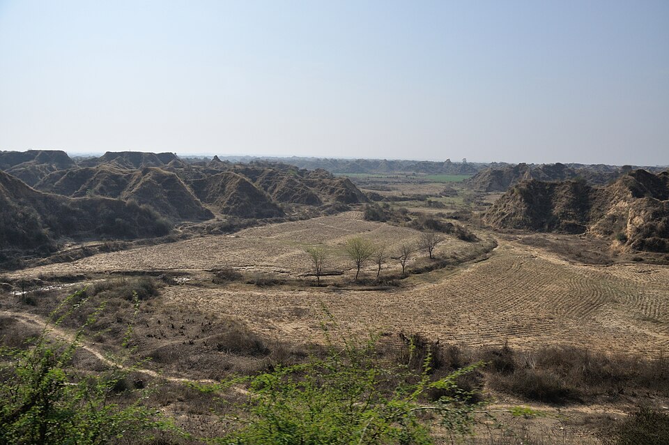
Atal Pragati Path is a ~404 km four-lane expressway under the Bharatmala Pariyojana, running through Sheopur, Morena and Bhind districts of Madhya Pradesh's Gwalior-Chambal belt — the country's most notorious ravine (badland) terrain, historically associated with dacoity. The project builds road connectivity through this terrain, linking Kota in Rajasthan to Etawah in Uttar Pradesh.
MPPSC repeatedly tests region-project matching for MP's own infrastructure schemes — the fix is remembering which of MP's distinct sub-regions (Malwa, Nimar, Mahakoshal, Bundelkhand, Gwalior-Chambal, the tribal southwest) a named project belongs to, rather than guessing from the project's name.
- Atal Pragati Path = Atal Progress-Way = Chambal Expressway — a ~404 km four-lane road
- Passes through Sheopur, Morena and Bhind districts — the Gwalior-Chambal ravine belt
- Built under the Bharatmala Pariyojana; connects Kota (Rajasthan) to Etawah (UP) via MP
- Aims to open up the historically dacoit-affected Chambal ravines to development
- Confusing Atal Pragati Path with the (separate, later) Narmada Expressway project
- Mixing up MP's named sub-regions when matching them to a scheme
MPPSC frequently asks 'X scheme/project is related to which region of MP' for state infrastructure news — lock the project name to its district cluster, not just its state.
No directly related past PYQ was found.
- practice — not a real PYQ
The Atal Pragati Path (Chambal Expressway) in Madhya Pradesh is being built under which central government road programme?
- (a)Bharatmala Pariyojana
- (b)Sagarmala
- (c)PMGSY
- (d)NH Development Project Phase III
Answer(a) Bharatmala Pariyojana. - practice — not a real PYQ
Which Madhya Pradesh districts does the Atal Pragati Path expressway pass through?
- (a)Sheopur, Morena, Bhind
- (b)Indore, Dhar, Jhabua
- (c)Jabalpur, Mandla, Balaghat
- (d)Rewa, Satna, Sidhi
Answer(a) Sheopur, Morena, Bhind — the Gwalior-Chambal ravine districts.