
 View answer copy →
Akshat JainAIR 2CSE 2018
Answered a closely related question
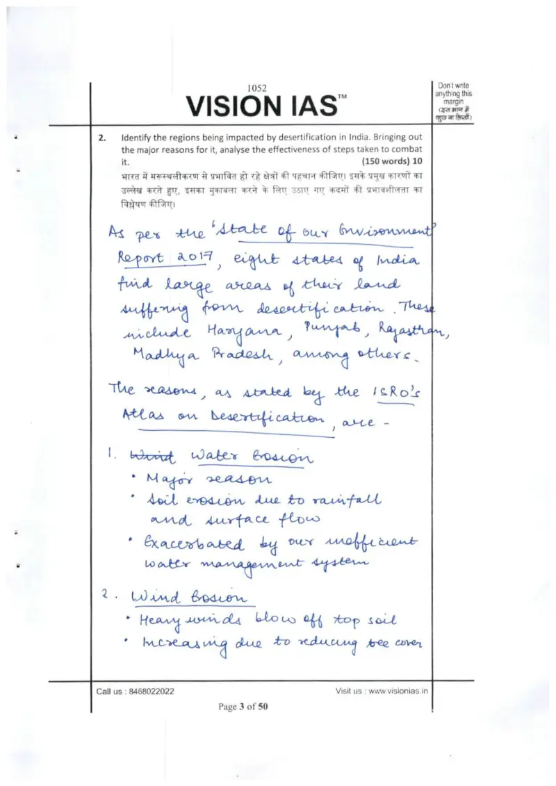
Their question: “Regions affected by desertification in India, reasons, effectiveness of steps (150w)”
Provides the desertification evidence base (State of Environment Report 2017 worst states, ISRO Atlas, causes and steps) a student needs to justify that desertification crosses climatic boundaries.
Key learnings from their answer
- ›He opens answers by citing the governing source before listing causes, e.g. anchoring the desertification answer to the 'State of Environment Report 2017' (eight worst states: Haryana, Punjab, Rajasthan, MP) and 'ISRO's Atlas on Desertification', and the JFM answer to the Forest Rights Act 2006. -> Lead your intro with a named, datable source rather than a definition; it instantly signals authority and frames everything that follows.
- ›Geography theory is tied to concrete Indian locations in nearly every answer, Chhotanagpur plateau for iron & steel/heavy industry, Vindhyan ranges for cement/limestone, Odisha bauxite for aluminium, copper in MP & AP, uranium in AP/Jharkhand/Meghalaya, Bangalore-Hyderabad for IT. -> For location/distribution questions, attach each general factor to a specific named place; a list of real locations proves command of the map far better than naming the factor alone.
What they cited: State of Environment Report 2017 — eight states with large desertified areas: Haryana, Punjab, Rajasthan, Madhya Pradesh among others (Q2) · ISRO's Atlas on Desertification (Q2) · National Action Plan to Combat Desertification (Q2)