
 View answer copy →
Akshat JainAIR 2CSE 2018
Answered a very similar question
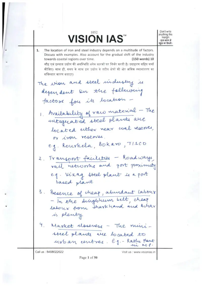
Their question: “Iron & steel industry location factors + gradual shift to coastal regions (150w)”
Explains iron & steel siting away from raw material with concrete Indian examples (Vizag port-based plant, Bokaro), exactly what the PYQ asks.
Key learnings from their answer
- ›Geography theory is tied to concrete Indian locations in nearly every answer, Chhotanagpur plateau for iron & steel/heavy industry, Vindhyan ranges for cement/limestone, Odisha bauxite for aluminium, copper in MP & AP, uranium in AP/Jharkhand/Meghalaya, Bangalore-Hyderabad for IT. -> For location/distribution questions, attach each general factor to a specific named place; a list of real locations proves command of the map far better than naming the factor alone.
- ›On steel-plant location he goes past raw cost factors to note that 'Bokaro was set up to develop the backward Jharkhand region' and that Singhbhum drew cheap labour from Jharkhand & Bihar. -> Add the policy/regional-development 'why' behind a location, not just the resource endowment, showing that siting decisions also serve backward-area development adds an analytical layer most answers miss.
What they cited: Steel plants: Rourkela, Bokaro, TISCO (near coal/iron); Visakhapatnam (Vizag) as port-based plant; Singhbhum belt with cheap labour from Jharkhand & Bihar; Bokaro set up to develop backward Jharkhand region (Q1)