
Amarkantak source place of Son river is situated at
- (a)Makalu range
- (b)Maikal range
- (c)Mahadeo hills
- (d)Rajmahal hills
Correct — B, Maikal range. Amarkantak is a plateau town at about 1,048 metres in Anuppur district of Madhya Pradesh, and it sits on the Maikal Hills — the eastern arm of the Satpura system, running through Anuppur district in Madhya Pradesh and Kawardha district in Chhattisgarh, with elevations from roughly 340 to 942 metres and the Amarkantak plateau as its high ground. Amarkantak's own nickname is Maikal. The place matters because it is a triple watershed: the Narmada rises here at Narmada Kund and turns west to the Arabian Sea, the Son rises at Sonmuda close by and runs north and then east to the Ganga, and the Johila also begins here. Geographers describe the Amarkantak region as the meeting point of the Vindhya and Satpura ranges with the Maikal Hills as the fulcrum, which is why 'Maikal' is the precise answer and 'Satpura' would be the broader one. The Son itself is 784 km long and is the second-largest southern tributary of the Ganga after the Yamuna; it crosses Chhattisgarh, Madhya Pradesh, Uttar Pradesh and Jharkhand before running the length of southern Bihar and joining the Ganga near Maner in Patna district. Note the trap built into the option list: three of the four choices begin with the letters M-A, and the first of them, Makalu, is a Himalayan peak that has nothing to do with central India at all. Read the whole word.
- (a)Makalu range — A pure sound-alike, and the reason this question is not free. Makalu is the fifth-highest mountain on earth at 8,485 metres, in the Mahalangur Himalayas on the China–Nepal border, 19 km south-east of Mount Everest. It is a Himalayan peak, not a central Indian range, and it is some 1,500 km from Amarkantak. The two names differ by two letters and a candidate reading quickly under time pressure can take one for the other.
- (c)Mahadeo hills — The right mountain system but the wrong end of it. The Mahadeo Hills are the northern block of the Satpura Range, running east and west through Betul, Chhindwara and Seoni districts of Madhya Pradesh and separating the Narmada basin to the north from those of the Wainganga and Wardha, tributaries of the Godavari, to the south. They lie several hundred kilometres west of Amarkantak, and the Tapi rather than the Son is the river associated with that stretch of the Satpuras.
- (d)Rajmahal hills — The right river, at completely the wrong point on it. The Rajmahal Hills are in the Santhal Pargana division of Jharkhand, built of the Jurassic Rajmahal Traps that spill into West Bengal and Meghalaya, and they stand near the Ganga far downstream of everything this question is about. They are perhaps 900 km from Amarkantak, and the Son does not touch them — it has already joined the Ganga upstream, near Patna.
Central India's drainage is organised by two long, roughly parallel east–west ranges — the Vindhyas to the north and the Satpuras to the south — and by the trough between them, which the Narmada occupies. The Satpura system is not one ridge but a chain: the Rajpipla hills in the west, the Mahadeo hills in the centre around Betul, Chhindwara and Seoni, and the Maikal hills swinging north-east at the eastern end, where they effectively close the gap with the Vindhyas. Amarkantak sits at that junction, which is what makes it a triple watershed and gives it its religious standing as Tirthraj. The direction each river takes from there is decided by the structure. The Narmada runs west because it occupies a rift valley between the two ranges, which is also why it has an estuary rather than a delta. The Son runs the other way, north out of the highland and then east along the southern edge of the Ganga plain, collecting the Rihand, Kanhar, Gopad and North Koel from its right before it turns to meet the Ganga. That north-then-east course is what brings a Madhya Pradesh headwater into Bihar's water economy.
This is a place-and-range question, and the safest way through it is to fix the region first and only then choose among names. Amarkantak is central Indian, so any Himalayan name is out at once — that removes Makalu without knowing anything more. The remaining three are all Indian uplands, and the discriminator is which one is at the eastern end of the Satpuras: the Mahadeo hills are the central block, the Rajmahal hills belong to eastern Jharkhand and the Ganga, and only the Maikal range reaches Amarkantak. For a Bihar candidate the Son is worth knowing well beyond its source, because it carries the state's oldest large irrigation system: the first dam on the river was built at Dehri in 1873-74, the Indrapuri Barrage was commissioned eight kilometres upstream in 1968, and the Bansagar Dam in Madhya Pradesh followed in 2008. The 1.44-kilometre Koilwar or Abdul Bari Bridge over the Son near Arrah, a rail-cum-road lattice-girder structure completed in November 1862, is the other fixture of the river in Bihar's transport geography.
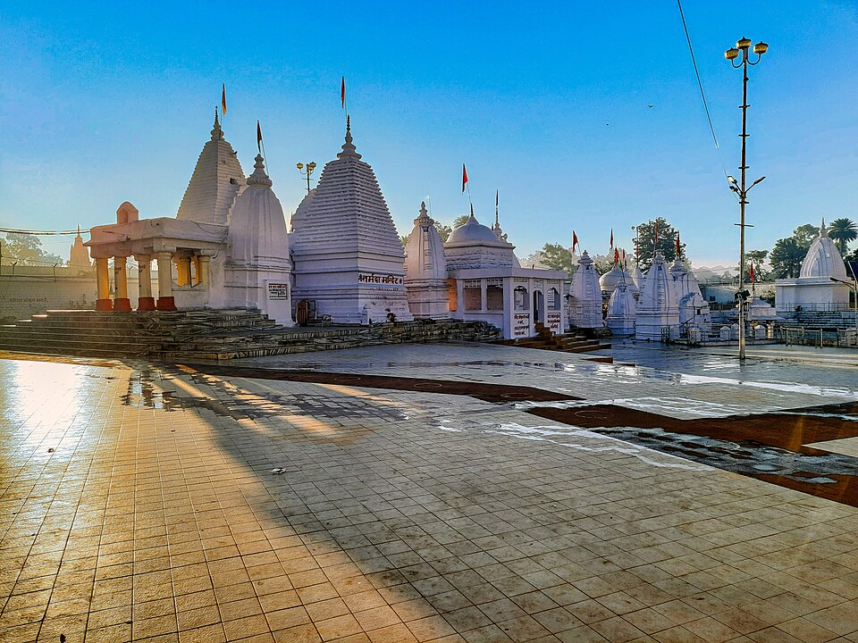
- Amarkantak lies in Anuppur district of Madhya Pradesh at an average elevation of 1,048 metres, on the Maikal Hills, and is described as the meeting point of the Vindhya and Satpura ranges with the Maikal Hills as the fulcrum.
- The Maikal Hills are the eastern part of the Satpuras, spanning Kawardha district in Chhattisgarh and Anuppur district in Madhya Pradesh, with altitudes running from about 340 m to 942 m.
- The Son is 784 km long, rises at Sonmuda near Amarkantak, flows through Chhattisgarh, Madhya Pradesh, Uttar Pradesh, Jharkhand and Bihar, and joins the Ganga near Maner in Patna district — the second-largest southern tributary of the Ganga after the Yamuna.
- Works on the Son: the first dam at Dehri in 1873-74, the Indrapuri Barrage 8 km upstream commissioned in 1968, and the Bansagar Dam in Madhya Pradesh commissioned in 2008; its right-bank tributaries include the Rihand, Kanhar, Gopad and North Koel.
- Makalu, the sound-alike distractor, is the fifth-highest mountain on earth at 8,485 m in the Mahalangur Himalayas on the China–Nepal border, 19 km south-east of Mount Everest; the Mahadeo Hills are the northern Satpura block in Betul, Chhindwara and Seoni; the Rajmahal Hills are the Jurassic trap hills of Santhal Pargana in Jharkhand.
- Reading 'Maikal' as 'Makalu'. One is the eastern Satpura block in Madhya Pradesh, the other the world's fifth-highest peak on the Nepal–Tibet border.
- Answering 'Satpura' when the question wants the specific range. Amarkantak is on the Satpura system, but the range named at that point is the Maikal.
- Placing the Son's source anywhere near the Rajmahal hills because both are associated with eastern India. The Son has already joined the Ganga near Patna, well upstream of the Rajmahal country.
BPSC asks physical geography as a bare location — which range, which district, which plateau — and builds the difficulty into near-identical names rather than into the geography, as with three M-names in one option set here. UPSC treats Amarkantak as a mechanism question instead: in 2009 it described a place where one river flows north to a Bay of Bengal river and another flows west to the Arabian Sea and asked candidates to name it, which cannot be answered by recognising a word.
At which one of the following places do two important rivers of India originate; while one of them flows towards north and merges with another important river flowing towards Bay of Bengal, the other one flows towards Arabian Sea ?
- (a) Amarkantak
- (b) Badrinath
- (c) Mahabaleshwar
- (d) Nasik
Answer(a) Amarkantak
The same place, described rather than named — the river flowing north into a Bay of Bengal river is the Son and the one flowing west is the Narmada. It is the harder version of this card's question, because it cannot be answered by recognising a word and has to be reasoned from the drainage pattern.
Which one among the following rivers originates at Amarkantak?
- (a) Damodar
- (b) Mahanadi
- (c) Narmada
- (d) Tapi
Answer(c) Narmada
The other river that begins at the same plateau, asked in the same one-line form. Holding both — Narmada west from Narmada Kund, Son north-east from Sonmuda — is what turns Amarkantak from a name into a watershed you can reason about.
Karmanasa river originates in -
- (a) Kaimur District
- (b) Vaishali District
- (c) Patna District
- (d) Bikram District
Answer(a) Kaimur District
The Commission asked the identical question type on the 71st CCE later in 2025 — name the upland a river rises from. There it was the Karmanasa off the Kaimur plateau, here the Son off the Maikal; both are southern feeders reaching the Ganga across Bihar, and both reward knowing sources rather than mouths.
- practice — not a real PYQ
The Son river joins the Ganga near which of the following places ?
- (a)Buxar
- (b)Maner, in Patna district
- (c)Munger
- (d)Bhagalpur
Answer(b) Maner, in Patna district — the Son runs 784 km from Amarkantak to that confluence, making it the second-largest southern tributary of the Ganga after the Yamuna.
- practice — not a real PYQ
The Maikal range, on which Amarkantak stands, forms the eastern arm of which mountain system ?
- (a)The Aravalli Range
- (b)The Satpura Range
- (c)The Eastern Ghats
- (d)The Western Ghats
Answer(b) The Satpura Range — the Maikal Hills are the eastern part of the Satpuras in Kawardha district of Chhattisgarh and Anuppur district of Madhya Pradesh, and Amarkantak is where they effectively meet the Vindhyas.