
Average height of Kosi Plain from mean sea level is
- (a)150 m
- (b)300 m
- (c)30 m
- (d)100 m
Correct — C, 30 m. There is a Government of India document that puts a number on this tract, and it is the only source worth arguing from. The Ganga Basin Report prepared by the Central Water Commission with the National Remote Sensing Centre under the India-WRIS programme describes the Middle Ganga Plain — which it defines as the Bihar plains together with eastern Uttar Pradesh — as being 'in general … below 100m above the sea level', rising gradually from Domariaganj in Basti up to 130 m in the north-west and up to 150 m in the south where the peninsular uplands push into the plain. Of the eastern end it says in as many words: 'in the east the Kosi plain ranges between 30m in the south to 75m in the extreme north.' So the only official figures ever attached to the Kosi plain are 30 m and 75 m, and 30 m is the one printed here. Settlement elevations across the tract agree with that order of magnitude and not with any other: Supaul about 33 m, Katihar about 35 m, Purnia about 36 m, Saharsa about 41 m, Araria about 47 m — every one of them below Bihar's statewide average elevation of 53 m. Be straight about what the report does and does not say: 30 m is the southern, lowest end of a 30-to-75 m range rather than a computed mean, so the honest claim is that it is the only option lying inside the official range at all, while every other option here exceeds the ceiling the same report sets for the whole Middle Ganga Plain. The 69th CCE of September 2023 printed this identical question and its answer was the same 30 m.
- (a)150 m — This is a real number from the same report, taken from the wrong part of the plain. 150 m is what the Central Water Commission gives for the *southern* margin of the Middle Ganga Plain, where the Chotanagpur uplands intrude into it — the Kaimur and Rajmahal side of Bihar, not the Kosi fan in the north-east. Lifting a figure from one edge of a region and applying it to the opposite edge is exactly the error this option rewards.
- (b)300 m — Not plains ground at all. Three hundred metres in Bihar means the hills: it is, for instance, the elevation of the spring in the Someshwar range of West Champaran from which the Burhi Gandak rises. The Kosi plain is an actively aggrading alluvial fan whose whole character is near-flatness, and nothing on it approaches this height.
- (d)100 m — The most instructive wrong answer, because it is the ceiling and not the average. The Central Water Commission's own sentence is that the Middle Ganga Plain is 'in general … below 100m above the sea level' — so 100 m is roughly the highest the whole Bihar plain gets before the uplands begin, and the Kosi tract sits at the low end of it, not the top. Note also that this option replaced 'None of the above' when the Commission reprinted the question from an earlier edition, which is why the escape route that once existed here has gone.
The Kosi plain is the Indian portion of the Kosi megafan, one of the largest alluvial fans in the world. A river that drops from the Himalaya on to a flat plain loses velocity abruptly, cannot carry its sediment load any further, and dumps it — building a shallow cone of silt across which the channel wanders. The Kosi's load is exceptional because its catchment is exceptional: the river is formed in Nepal by the confluence of the Sun Kosi, the Arun Kosi and the Tamur Kosi, and the Arun alone — the Phungchu in Tibet — drains ground that includes Mount Everest and Kanchenjunga. The Central Water Commission puts the Kosi's total length at 730 km and its basin's total catchment at 95,156 sq km, of which 18,413 sq km lie in India, and records that the sub-basin falls entirely within Bihar. Note that the same report gives 74,500 and 86,900 sq km for the drainage area in other sections — quote whichever you use with its own attribution rather than merging them. The consequence of all that sediment is the low, flat, near-featureless surface of Supaul, Saharsa, Madhepura, Araria, Purnia and Katihar, over which the river shifts and floods.
Order of magnitude decides this, and it can be reached without the report. Ask what kind of landform the Kosi plain is: it is the surface of an alluvial fan on the Indo-Gangetic plain, a few tens of kilometres from where the Kosi joins the Ganga. The Ganga at that point is itself only a few tens of metres above sea level, and a tributary's floodplain cannot stand hundreds of metres above the trunk river it is about to enter. That single relationship kills 300 m outright and makes 150 m implausible. The remaining choice is between 30 m and 100 m, and the Central Water Commission's sentence — the Middle Ganga Plain is generally below 100 m — settles it, because 100 m is the region's upper bound rather than the Kosi tract's typical height. One general lesson worth taking away: on any Indian elevation question, anchor to a known reference point rather than trying to recall a number. Patna is about 53 m, Bihar's statewide average is 53 m, and the north-east corner of the state is lower still.
- Central Water Commission / NRSC, Ganga Basin Report (India-WRIS), on the Middle Ganga Plain: 'In general, it is below 100m above the sea level … in the east the Kosi plain ranges between 30m in the south to 75m in the extreme north.'
- Settlement elevations in the Kosi tract: Supaul about 33 m, Katihar about 35 m, Purnia about 36 m, Saharsa about 41 m, Araria about 47 m — against a statewide Bihar average of about 53 m.
- The Kosi is formed in Nepal from the Sun Kosi, Arun Kosi and Tamur Kosi; the Arun's catchment contains Mount Everest and Kanchenjunga. Total length 730 km.
- The Central Water Commission gives the Kosi basin's total catchment as 95,156 sq km, of which 18,413 sq km are in India, and records that the sub-basin lies entirely within Bihar.
- The Kosi plain covers Supaul, Saharsa, Madhepura, Araria, Purnia and Katihar; the river joins the Ganga at the eastern end of this tract, near Kursela in Katihar district.
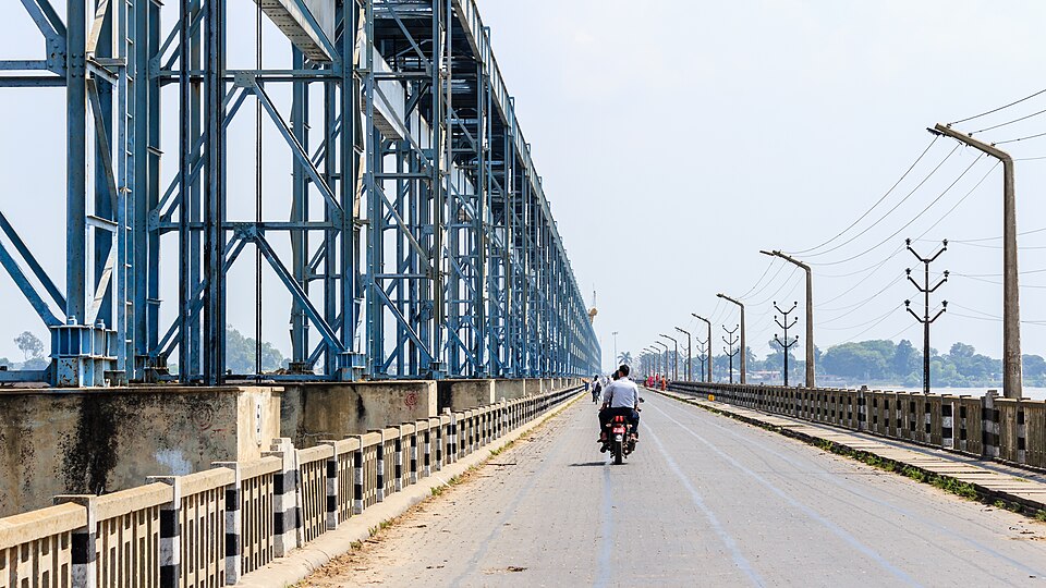
- Reading 150 m as the answer because the number appears in the same official description. It belongs to the southern margin of the Middle Ganga Plain, where the peninsular uplands intrude, not to the Kosi fan.
- Treating 100 m as the average when the source treats it as the general upper bound for the whole Bihar plain.
- Assuming a Himalayan river must have a high plain. The Kosi's catchment contains Everest, but the fan it builds inside India is among the lowest-lying ground in the country.
BPSC asks Bihar physiography as a bare number and has now printed this exact stem in two editions — the 69th CCE of September 2023 and again here — changing only the fourth option, from an escape route to a fourth figure. UPSC never asks a regional elevation; when it uses the northern plains it asks about their soil, their rainfall gradient or the geomorphic belts that make them up.
With reference to India, which one of the following statements is correct?
- (a) About one-third of the area of the country records more than 750 millimetres of annual rainfall
- (b) The dominant source of irrigation in the country is wells
- (c) Alluvial soil is the predominant type of soil in the northern plains of the country
- (d) The mountain areas account for about thirty percent of the surface area of the country
Answer(c) Alluvial soil is the predominant type of soil in the northern plains of the country
Names the property that explains the number in this question: the northern plains are alluvium laid down by rivers leaving the mountains, and a surface built entirely of river-dumped silt is by construction low and flat.
The average height of the Kosi plain from mean sea level is
- (a) 300 m
- (b) 150 m
- (c) 30 m
- (d) None of the above
Answer(c) 30 m
The 69th CCE of September 2023 printed this question word for word with the same three numbers and the same answer, differing only in its fourth option — the clearest possible demonstration that BPSC recycles Bihar geography stems across editions.
Munger Hilly region is a part of which of the following physiographic region ?
- (a) North Bihar Plain
- (b) Southern Hilly Region
- (c) South Bihar Plain
- (d) Someshwar Hilly Range
Answer(b) Southern Hilly Region
The 70th CCE paper of December 2024 tested the same physiographic scheme from the other end — the hills that lift the southern edge of the plain to 150 m and above, which is precisely why that figure is offered as a decoy against the Kosi tract's 30 m.
- practice — not a real PYQ
The Kosi river is formed in Nepal by the confluence of which three rivers ?
- (a)Bagmati, Kamala and Mahananda
- (b)Sun Kosi, Arun Kosi and Tamur Kosi
- (c)Trishuli, Marsyangdi and Seti
- (d)Sarda, Rapti and Ghaghara
Answer(b) Sun Kosi, Arun Kosi and Tamur Kosi — hence the name Sapta Kosi for the combined stream; the Arun is the largest, and its catchment includes Mount Everest and Kanchenjunga.
- practice — not a real PYQ
The Kosi river joins the Ganga in which district of Bihar ?
- (a)Bhagalpur
- (b)Khagaria
- (c)Katihar
- (d)Purnia
Answer(c) Katihar — the confluence lies near Kursela at the eastern end of the Kosi plain, downstream of the megafan the river has built across Supaul, Saharsa, Madhepura and Araria.