Mapping
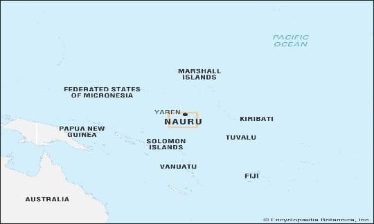
1.Nauru Pacific Island Micronation (Island Country)
DD NewsMicronesia · Raised coral atoll · Phosphate mining
What & Where
Nauru; raised coral atoll microstate in southwestern Pacific just south of Equator, southeastern Micronesia
Land area 21 sq km; no official capital but Yaren district hosts Parliament and Presidency
Interior phosphate-rich plateau encircles Buada Lagoon; coastal fertile ring yet chronic fresh-water scarcity
Quick Facts for MCQs
Legal & Policy
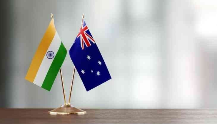
- Australia-Nauru pact worth A$2.5 b for 30 years covering detention, resettlement, defence cooperation
- Critics term policy responsibility shifting to small aid-dependent Pacific nations
- Arrangement continues offshore asylum processing started 2001
Environmental Impact
- Phosphate mining degraded over 80 percent land leaving jagged limestone pinnacles
- Limited arable soil forces heavy food imports and restricts agriculture
- Rainfall dependent reservoirs plus shipped water indicate severe freshwater scarcity
Economic Angle
- Revenue sources led by phosphate exports, Australian aid inflows, fees from asylum processing facility
- Market exhaustion of phosphate reserves threatens long-term fiscal sustainability
- Employment and infrastructure largely tied to Australian funded projects
Key Data Points
| Feature | Data-Point |
|---|---|
| Area | 21 sq km |
| Political system | Unitary parliamentary republic |
| Legislature size | 19 members |
| De facto capital | Yaren district |
| Latitude | ~25 mi south of Equator |
| Region | Southeastern Micronesia, Pacific Ocean |
| Highest point | ~100 ft above sea level |
| Main mineral | Phosphate rock |
| Land degraded by mining | >80 % |
| Long-term Australia pact | A$2.5 billion, 30 years |