Editorial
1.Ethical Digital Conduct Guidelines (Civil Service Ethics)
Times of Indiasocial media · political neutrality · LBSNAA
What & Where
Regulation: July 2025 Maharashtra circular instructs government staff to stay politically neutral and guard confidential data online
Training: April 2025 LBSNAA Mussoorie advisory counsels fresh civil servants against impulsive posts or inducements
Coverage: Guidelines operate within India under CCS 1964 & AIS 1968 conduct frameworks
Quick Facts for MCQs
Ethical Principles
- Transparency: digital communication must remain clear, open, citizen-facing
- Impartiality: no partisan endorsements, aligns with Rawlsian fairness duty
- Integrity: avoid deception or leaks, preserve institutional trust
Pro-Regulation Rationale
- Security: unchecked posts risk classified leaks, Kantian duty ethics back restraint
- Image: unprofessional content tarnishes state dignity, virtue ethics stress propriety
- Public-interest: utilitarianism supports limiting speech for larger societal good
Anti-Regulation Concerns
- Expression: over-reach curbs Article 19(1)(a) rights, violates Mill’s harm principle
- Transparency: social media aids citizen audit, curbs may dilute accountability
- Morale: excessive policing breeds distrust, widens digital generational gap
Suggested Measures
- Guidelines: publish precise dos & don’ts, separate personal and official handles
- Training: mandate digital-ethics, data-privacy modules in all service courses
- Accountability: graded response system emphasises advisory first, sanction later
Key Data Points
| Feature | Data-Point |
|---|---|
| Maharashtra order date | July 2025 |
| Core conduct rule (Central) | CCS (Conduct) Rules 1964 |
| Conduct rule for AIS officers | AIS (Conduct) Rules 1968 |
| Constitutional freedom at stake | Article 19(1)(a) |
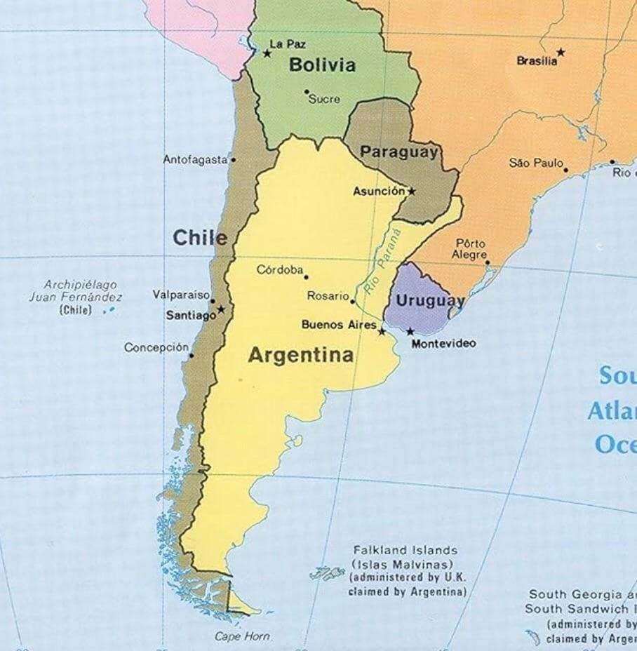
| Example disciplinary case | PSI Somnath Zende, Pune fantasy-league win |
Related UPSC Prelims PYQs
ESE_GS, GS1 2024PYQ 1
Which of the following issues were addressed while establishing an IT Policy?
ESE_GS, GS1 2017PYQ 2
निम्नलिखित कथनों में से कौन-सा/से भारतीय नागरिक के मूल कर्तव्यों के विषय में सही है/हैं?